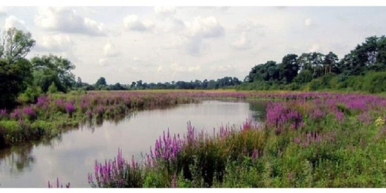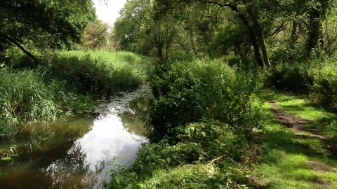

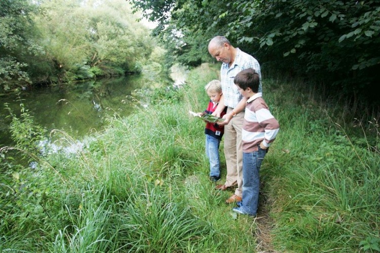
The Little Ouse Trail walk is approximately 15kms (9 miles) in length with opportunities to make detours or develop your own circular walk using rights of way and forest tracks. The route from Thetford to Brandon train station is predominately flat following the slowly winding course of the Little Ouse River and allows you to experience the wide range of Read more…
-
-
Named after the legendary warrior and Queen of the Iceni whose tribes once inhabited the area, the Boudicca Way runs for approximately 36 miles between Norwich and Diss, roughly parallel with the old Roman ‘Pye’ Road (now the A140). View an overview map of Boudicca Way (PDF download 280kb) or view Boudicca Way on the interactive map. Boudicca Way passes through the rural, Read more…
-
Angles Way is a 93 mile walking trail following the county boundary of Norfolk and Suffolk, gently meandering from Great Yarmouth through to Thetford. After Breydon Water (near Great Yarmouth) Angles Way follows the Waveney Valley to the source of the River Waveney, passing through open countryside, broad river valleys, pretty villages and the ancient market towns of Beccles, Bungay, Harleston Read more…
-
VerifiedPhone: 01842 750050Email: info@bto.orgThe BTO’s Nunnery Lakes Reserve is a County Wildlife Site which lies to the south of Thetford between the Rivers Thet and Little Ouse. It follows a series of lakes created by old gravel workings, and contains a rich variety of Breckland habitats within a relatively small area. These include dry, sandy heathland, wet woodland and flood meadow, which are Read more…
-
Breckland is one of the UK’s biodiversity hotspots and the designation of much of Knettishall Heath as a Site of Special Scientific Interest (SSSI) reflects this. Despite its name, Knettishall Heath is in fact a diverse mosaic of habitats with woodland and riverside meadows, as well as large areas of heath. It extends to over 430 acres. The open landscape Read more…